Description:
107 Lesson Plan
107 Student Handout - Enrichment
107 Student Handout - Modified
107 Student Handout
107 Teacher Handout - Enrichment
107 Teacher Handout
Lesson 7 Handout ARABIC
Lesson 7 Handout HEBREW
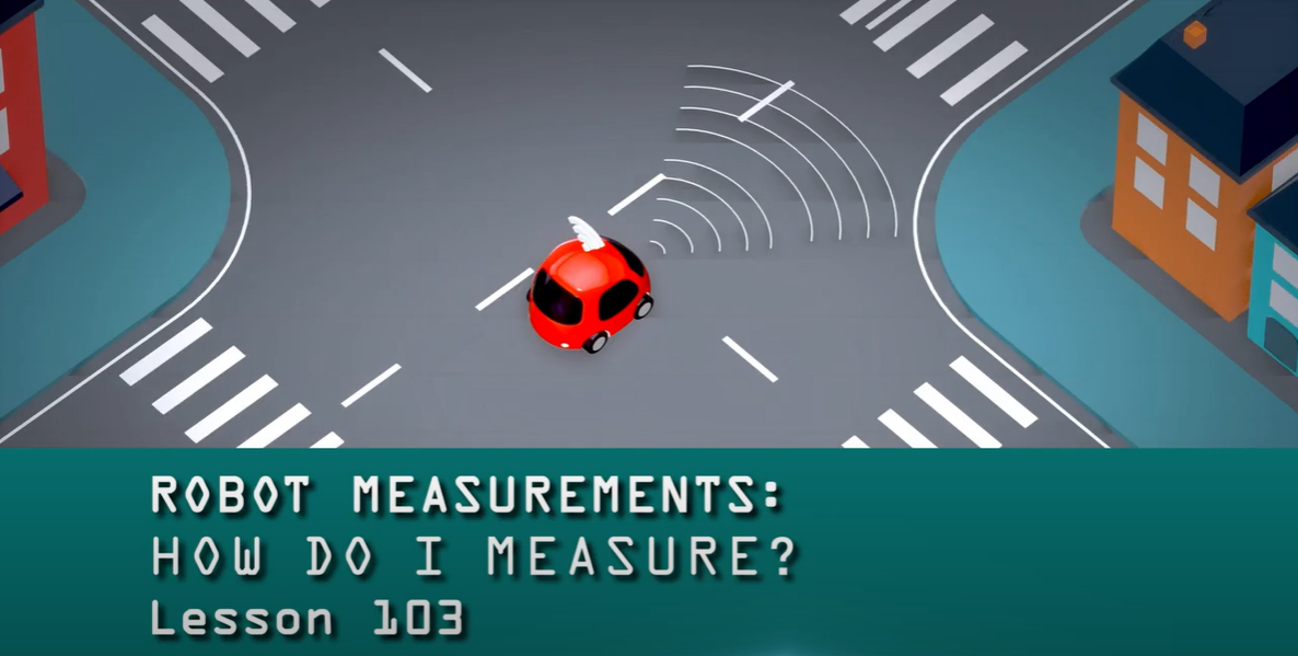
This video discusses how a robot can “see” things around it by converting polar coordinates to cartesian coordinates in order to make a map.
This handout covers a lesson review and questions that encourge students to apply mathematics to keep track of position of obstacles on a map.